What’s in a Site Plan?
When developing a property many documents are created. Some of the most common documents include floor plans which show the layout of the building on a floor-by-floor basis, and plot plans which give you a bird’s eye view of the lot on which the property will be located. Another frequently used type of construction drawing prepared during a development project is a site plan. This plan is used by many including but not limited to builders, landscapers, and property valuers as it denotes many aspects of a development.

Key items shown on a site plan include:
1. Property lines
2. Existing and Proposed Buildings, water /storage tanks[1],
3. Distance between buildings and property Lines
4. Roads, parking, sidewalks,and paths/trails,
5. Public facilities and utilities, including power lines
6. Placement of existing and proposed lighting, and
7. Landscaping and garden elements.
Site plans are usually prepared by an engineer, architect, or land surveyor and can be used to verify that development restrictions are being met.
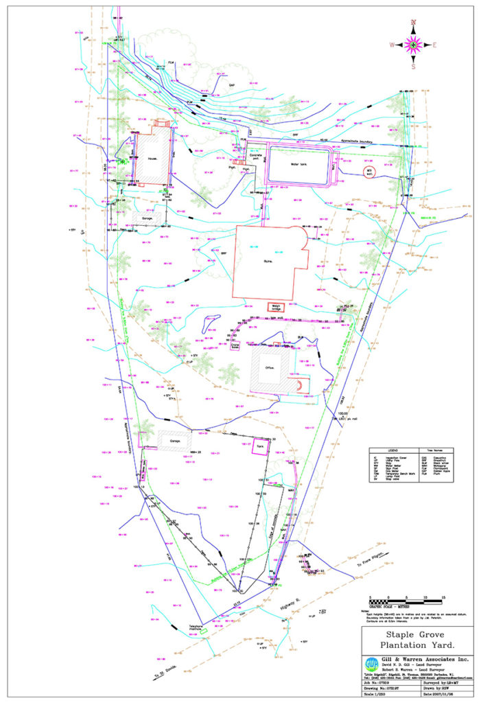
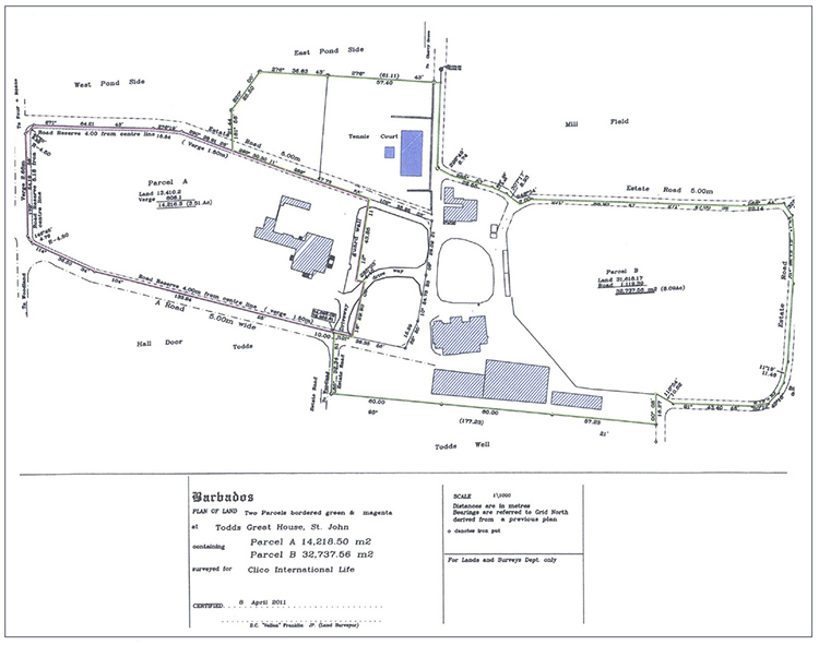
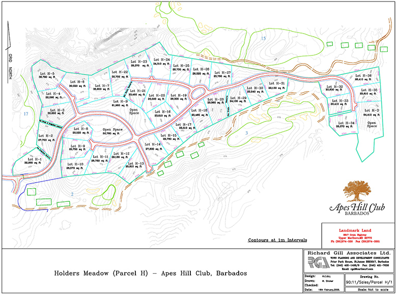
Often the site plan depicts the orientation of the site in relation to known geographical landmarks such as highways, churches, the sea, and main towns. Site plans can be simple or complex, some examples of which are shown below:


While site plans can show the topography of the site as shown in Fig. 3 above, and include information on slope, soils, and hydrology – this level of detail is usually depicted in a separate topographical survey plan. Ultimately when preparing a site plan, the engineer/ architect/land surveyor determines which areas of the land are best fordevelopment, and the optimal location for different structures on the site to develop a design that works within the space available.
[1] Considering building line setbacks as determined by Town & Country Planning


